Coastal Cliff Monitoring Using GNSS & uMonitor: Insight for Long‑Term Risk Management
Introduction
Coastal erosion and cliff instability are now a major concern across the globe. Especially in France, monitoring coastal cliffs has become essential to anticipate ground movement, protect infrastructure, and support long-term risk management strategies. In environments exposed to wind, storms, marine action, and hydrogeological variations, manual inspection methods quickly show their limitations. It is in this context that UBY deployed Worldsensing GNSS meter for continuous geotechnical monitoring, together with its own platform Franceas a reliable and sustainable solution.
When the cliffs are subjected to erosion, weathering, groundwater pressure, and storm loading, it is difficult to capture its movement accurately through occasional site visits or manual surveys alone. For civil engineers, infrastructure owners, and environmental consultants, the core question is rarelywhether movement occurs, but when it becomes significant and how reliably it can be detected.
Why monitor coastal cliffs continuously?
Ground movements in coastal areas are often gradual, subtle, and difficult to detect with the naked eye. Yet these displacements can signal more significant instability phenomena. Continuous geotechnical monitoring makes it possible to:
Detect ground movements early
Track cliff evolution over time
Improve the reliability of risk management decisions
Reduce the need for human intervention on hard-to-access sites
Field experience: installation quality determines data quality
From an engineering standpoint, one of the most important lessons from coastal GNSS monitoring is that installation details are fundamental. That’s where UBY’s expertise stands out.
Anchoring sensors in high‑wind environments
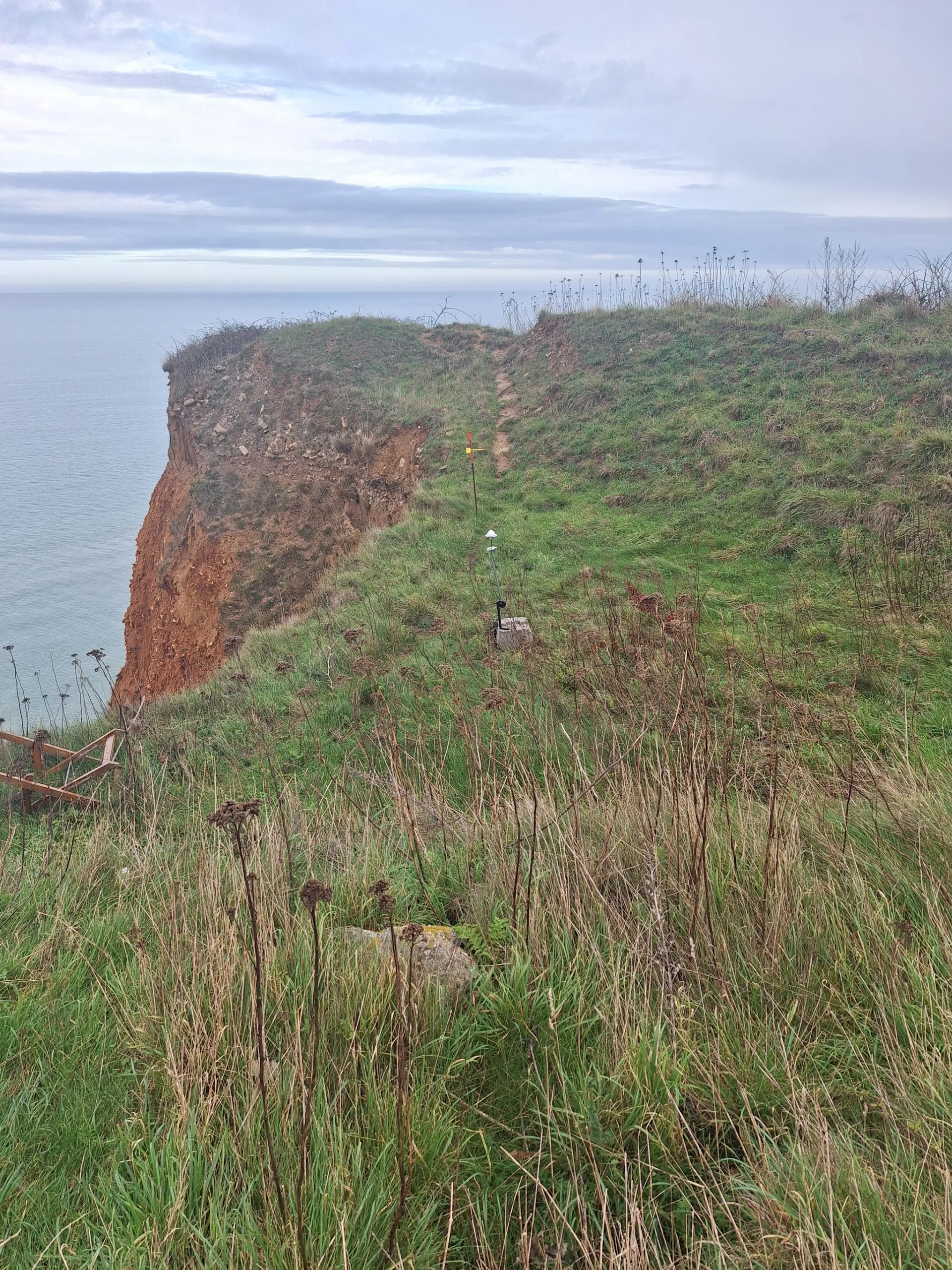
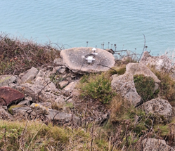
Coastal cliffs are subject to sustained wind loading and extreme storm events. This makes lightweight fixations or shallow anchoring solutions inadequate to withstand the environment. In some cases, insufficiently robust mounting plates were visibly deformed by wind forces. While the sensor remained operational, data confidence was compromised.
To avoid such risks, Team UBY decided that deep mechanical anchoring (around 1 m depth) would provide the required stability for long‑term GNSS measurements.
Sky visibility and GNSS reliability
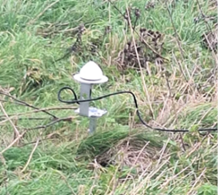
GNSS sensors require 360° sky visibility above a 30° elevation mask. Obstructions above this threshold significantly degrade instantaneous positioning quality. Installations where sensors were attached to wooden posts or partially shielded by nearby structures resulted in noisy signals and frequent spikes in the readings.
The UBY team concluded that this was not a software issue; it was a physical constraint of satellite positioning. Therefore, proper placement become essential to avoid false alarms and unnecessary alarm‑threshold adjustments.
Geotechnical Monitoring Strategy: combining displacement and inclination data
The deployed solution by UBY integrates two complementary measurement types:
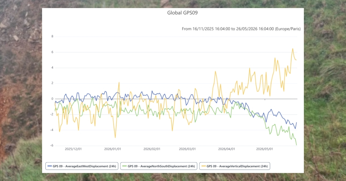
Global Navigational Satellite System (GNSS) displacement monitoring that provided continuous 3D position tracking with sub-centimetric accuracy.
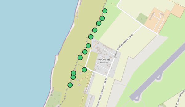
A network of 12 tiltmetersthat captured changes in inclination that preceded or accompanied localized instability.
With these sensors, engineers and asset managers on the project could review the cliff evolution without frequently visiting the field due to remote access. This becomes essential when the coastlines and cliffs are unsafe to access regularly. Furthermore, the continuous geotechnical monitoring underscores early‑event detection and long‑term analysis.
Active tiltmeters on a map view on uMonitor
UBY's Solution
Interpreting GNSS data: engineering judgement over raw numbers
The GNSS Meter provides three data outputs; each serving a purpose, but not all are equally suited to decision-making in exposed coastal settings. Here are some details:
Instantaneous 1-hour averages are highly sensitive to satellite geometry and environmental effects, especially when sky visibility is marginal.
6‑hour averages reduce short-term noise while remaining responsive to evolving movement.
24‑hour averages offer the most stable basis for alarms and long‑term assessment, particularly on high‑risk sites.
In practice, engineers often observe pressure to rely on short-term data for “faster” alerts. In this case, UBY experts’ field experience showed that longer averaging windows frequently delivered more reliable outcomes, reducing false positives while still capturing meaningful trends. It is to be noted that alarm configuration should be a risk‑based decision, not a purely technical one.
Raw monitoring data turned into actionable decisions
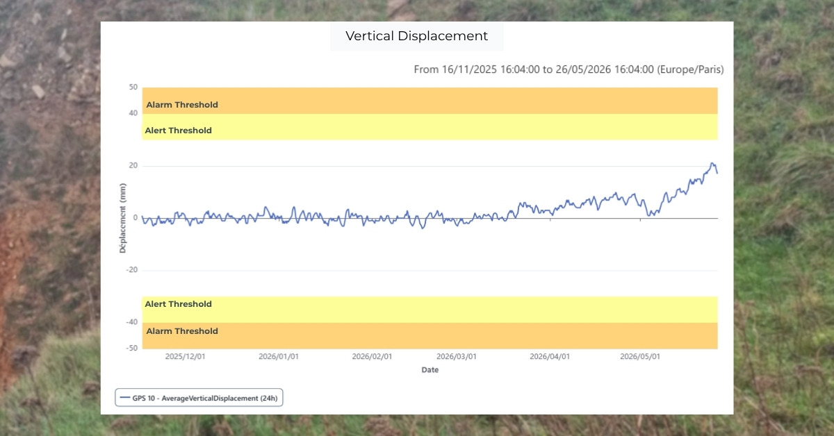
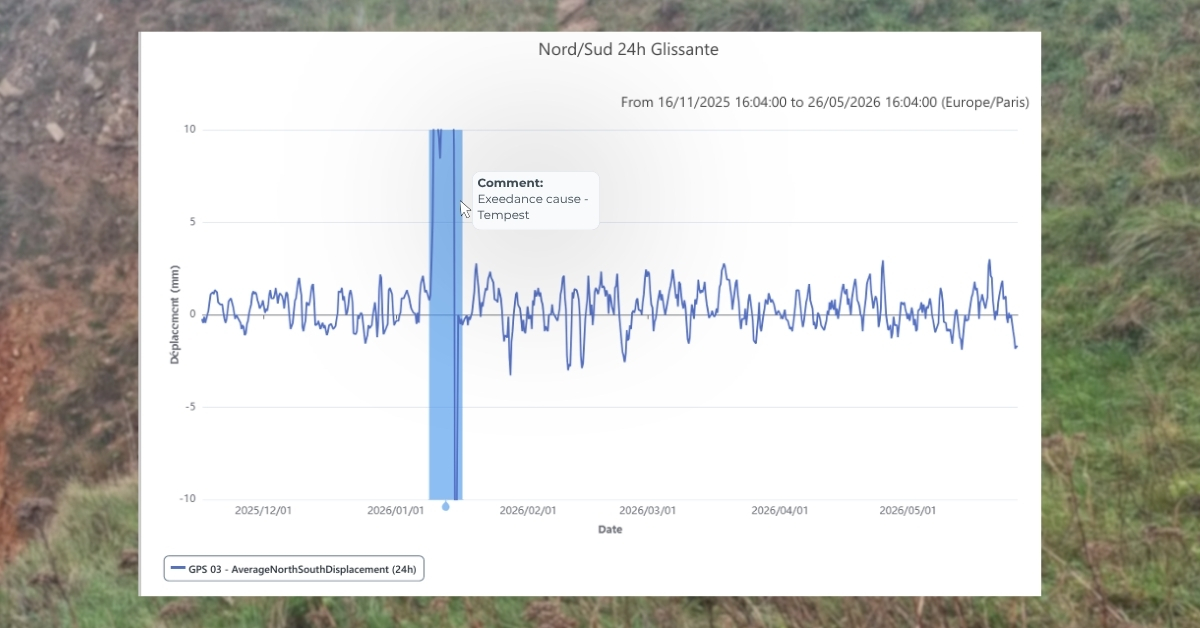
Beyond the sensors deployed on site, the real value of the project lay in how data was interpreted, shared, and acted upon. The uMonitorplatform played a central role in turning continuous GNSS and tiltmeter measurements into operational insight for all stakeholders.
For engineers, uMonitor provided a single technical workspace where GNSS displacement data and tiltmeter readings could be analyzed together, without switching between tools or manually aligning datasets. This made it easier to validate trends, distinguish between noise and genuine movement. Integratingweather data added critical context, helping engineers assess whether short‑term variations were driven by environmental conditions or reflected underlying ground behavior. No‑code calculation feature further allowed quick derivation of indicators like inclination rates or smoothed trends, keeping analysis transparent and data driven.
For data managers, uMonitor enabled the configuration of project‑specific thresholds across sensors and data types, aligned with both engineering tolerances and site risk. Once in place, real‑time threshold exceedance alerts ensured that early signs of anomalies were immediately flagged. Alerts were automatically shared in the project communication group that the stakeholders shared on a messaging app. This allowed engineers and infrastructure owners to see and respond to the same information at the same time, without manual checks or email chains.
For project managers and infrastructure owners, the platform translated technical monitoring data into clear, traceable information that supported timely decisions. Incident reporting became significantly more efficient: teams could select relevant time windows, export data directly as charts or graphs, and generate consistent professional reports without relying on screenshots or manual formatting. Automated report distribution further reduced administrative effort, increasing time for coordination and on‑site problem‑solving rather than documentation.
long-term coastal risk management benefits
By bringing data analysis, alerting, and reporting into a single platform, uMonitor supported a shared understanding of site behavior. From a technical perspective, this service provided objective, continuous evidence of ground behavior. From a management perspective, it supported:
Earlier identification of potential instability with real-time alerts
Better-informed risk mitigation strategies with automated yet detailed reporting
Reduced inspection and access costs with remote monitoring
Increased confidence in long-term coastal cliff management plans
Key takeaways
Continuous geotechnical monitoring with GNSS and uMonitor is well suited to long‑term coastal instability assessment.
Expert Installation quality remains critical to data reliability.
Combining displacement and tilt measurements strengthens early‑warning capability.
Worldsensing: Tunnel Convergence Monitoring with Laser Tiltmeters
Understand how UBY expertly deployed the Worldsensing Laser Tiltmeter for tunnel convergence monitoring along with uMonitor for advanced analysis features. ...