Zoom onto… inSAR: radar satellite interferometry, integrated within UBY Structure
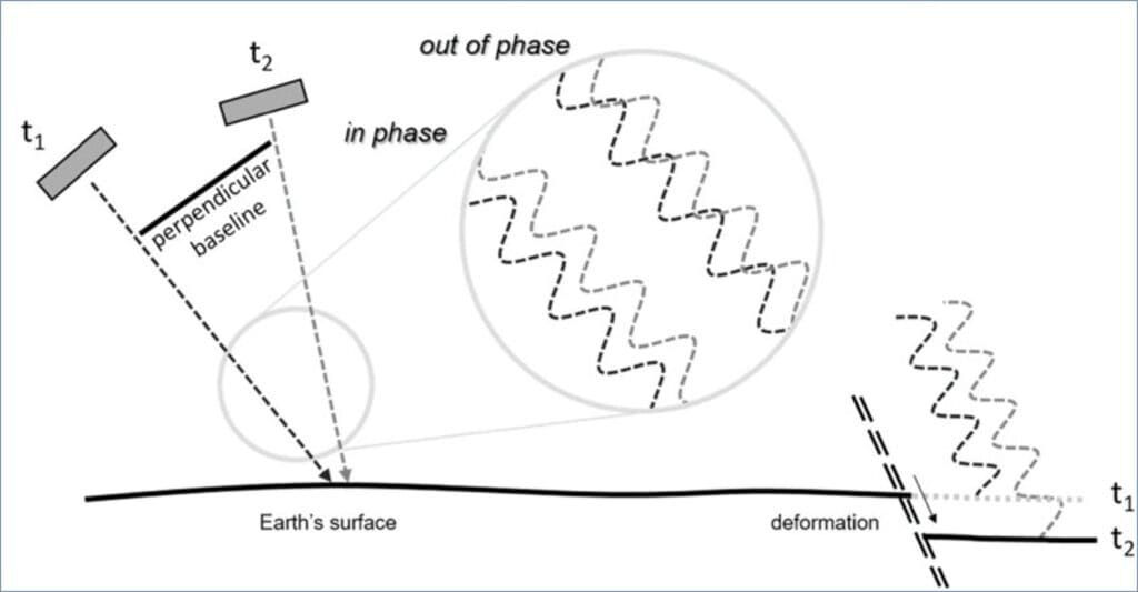
INSAR (Interferometric Synthetic Aperture Radar) is a satellite remote sensing technique that allows the measurement of ground or structure displacements to within millimetres, based on the analysis of radar images acquired at different dates.
Principle: A radar satellite (such as Sentinel-1) sends microwaves to the surface of the earth. Comparison of the radar signal phase between two successive acquisitions allows variations in distance between the satellite and the ground. These variations show as horizontal or vertical distortions (settling, raising or sliding).
Limitations :
Sensitive to loss of coherence (obstruction by vegetation, (masking effect of machinery and regular changes in site configuration)
Interpretation requires expert geotechnical and structural knowledge.
Applications :
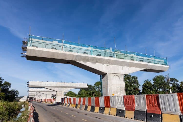
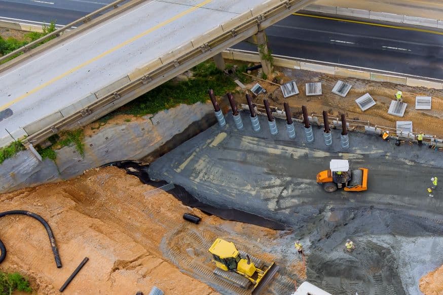
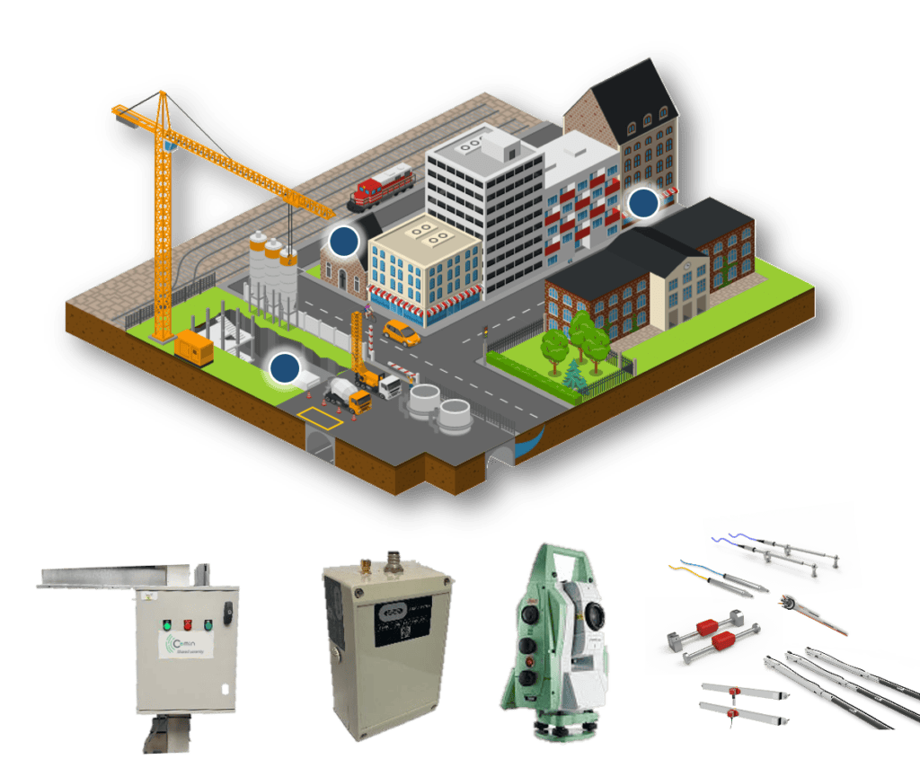
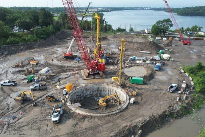
Monitoring of settlement in structures (bridges, dams, buildings).
Preliminary measurements of initial state before start of work (12/24 months);
Detection of slow distortions before visible damage occurs.
Complement or alternative to in-situ instrumentation;
Display of variations in level over large areas, including those outside the range measured by ground-based equipment.
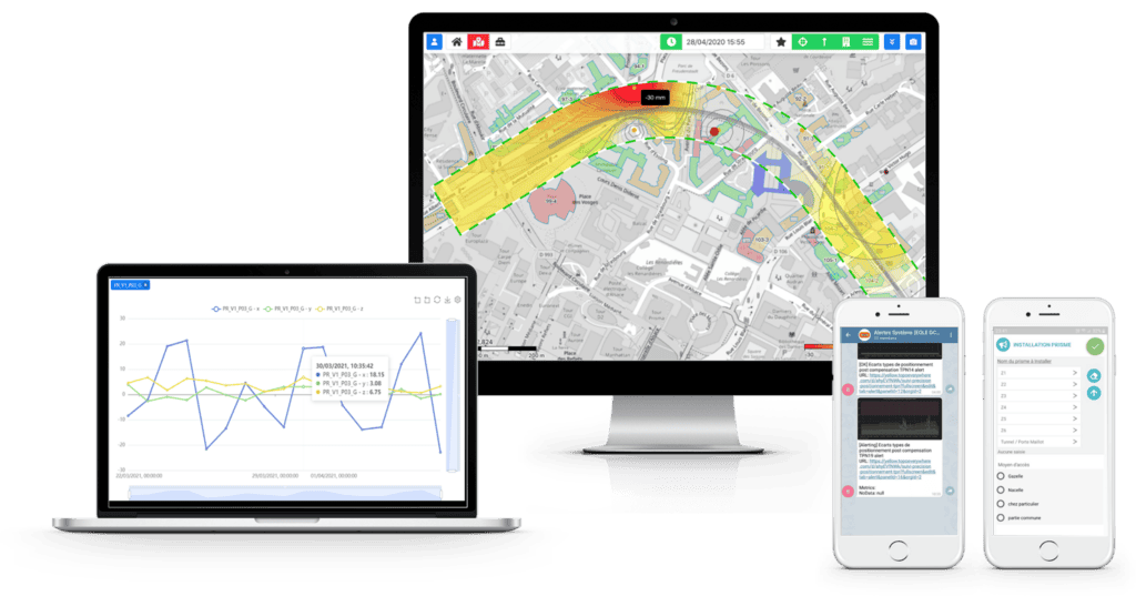
The UBY Structure platform
A control tower to ensure the durability of your worksites
The application gives you a real-time overview of structural movements on your sites. It allows you to monitor the overall construction environment of a structure at a single control point, using a range of measurements:
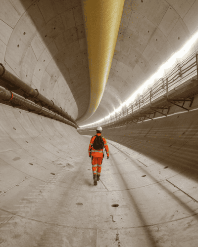
Rail: track geometry and platform integrity;
Existing buildings: tilting, differential settlement, cracking and vibration;
Geotechnics: soil behaviour and water pressure;
Walls and retaining elements: tilting and settling and stresses in struts and tie rods.
Main features
Integration and visualisation of geotechnical and structural data on a single platform ;
Real-time data for efficient construction management;
Structural behaviour monitoring and adapted graphic representation;
Integration of calculated behaviour and comparison with observed behaviour;
Secure messaging alert system;
Automatic and customised reports;
Real-time display of sensor status (connection, power supply, etc.)